Stakeholders mapping
Explore the stakeholders ecosystem involved in BRIDGES themes – Fishing and Biodiversity in the Indian Ocean.
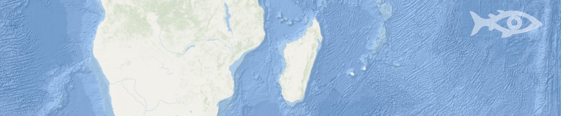
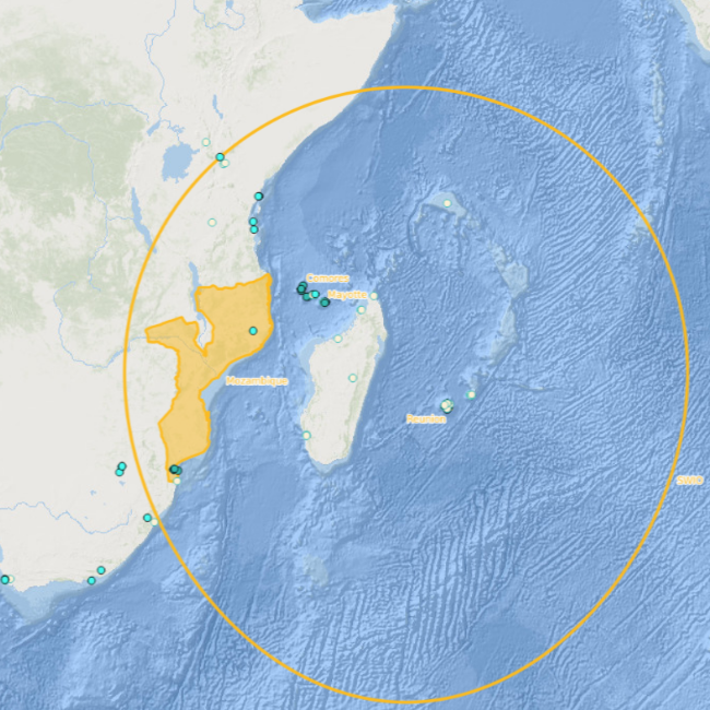
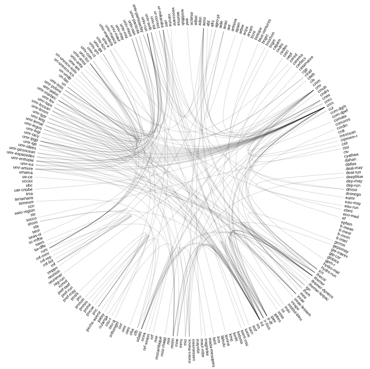
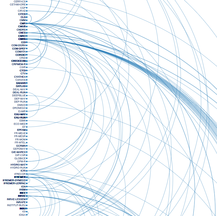
These interactive maps show the diversity of structures involved in research, management, higher education, civil society, etc. in the southwestern Indian Ocean region. They also help identify links with the BRIDGES program and contributions to the various Target Projects.
Three formats are available: a geographical interface developed on the Sextant platform (Ifremer), circular mapping to visualize the administrative links between structures at a glance, and list mapping that offers filters by status, discipline, or possible links with BRIDGES.
A tool for knowledge and dialogue between regional actors.
This version is based on information current as of August 2025. This map will evolve as the BRIDGES programme progresses over the next 10 years.
If any information appears to be incorrect or incomplete, please let us know by email: pc1_bridges@services.cnrs.fr