How to manage data from a regional scientific program over time?
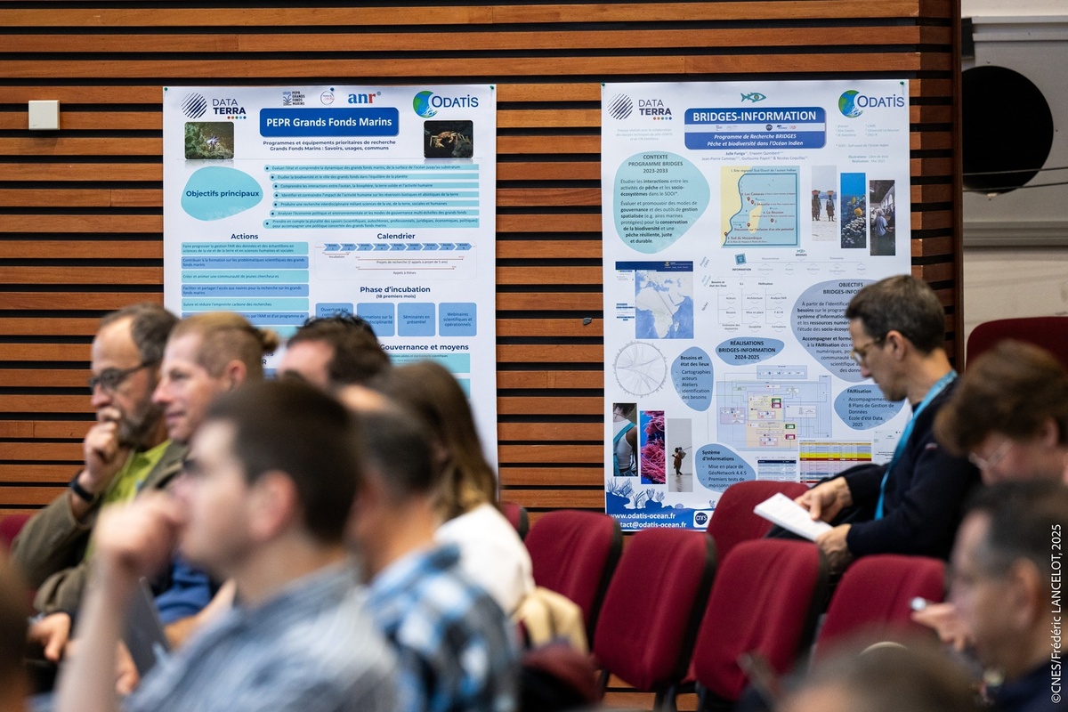
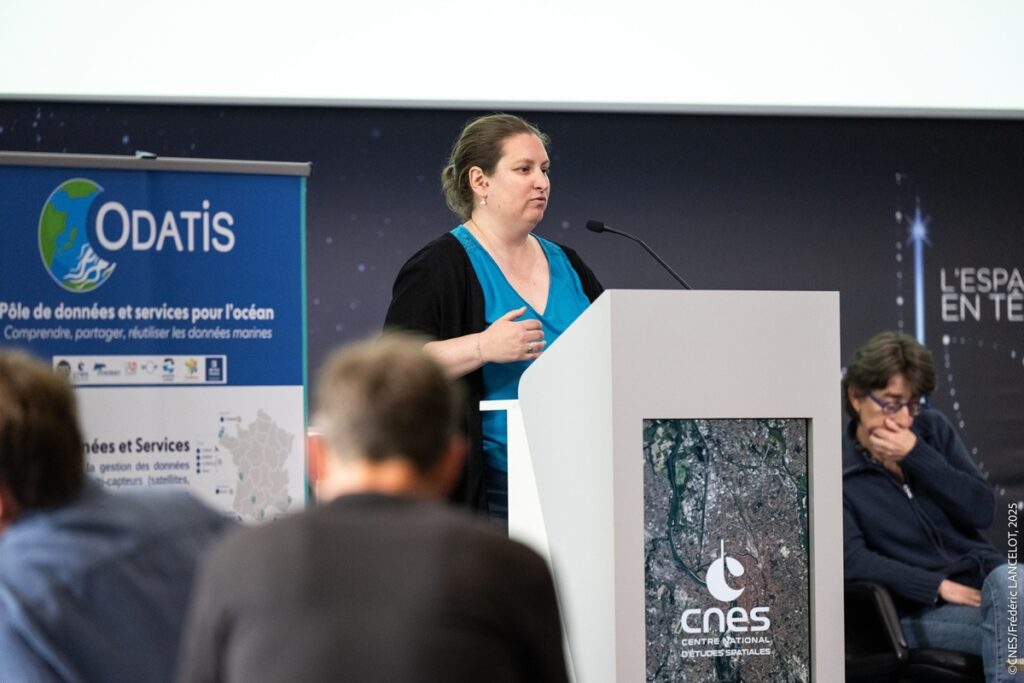
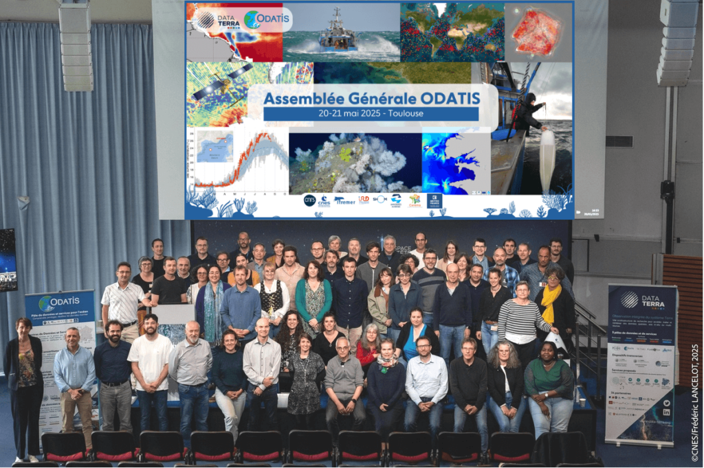
On May 21, BRIDGES participated in the General Assembly of the ODATIS ocean cluster, held at the CNES site in Toulouse. This meeting highlighted the challenges and opportunities associated with managing scientific data within the framework of a large-scale regional program such as BRIDGES.
Infrastructures serving open science
Research infrastructures (RIs) are facilities, resources, and services used by scientists to conduct their research and foster innovation in their fields. Earth and Environment System RIs such as Data Terra play a key role in studying global changes, their determinants, and their impacts at all scales.
Data Terra offers scientific communities, as well as public and private stakeholders, standardized, interoperable, thematic products and digital services based on multi-source data (satellites, in situ, soils, experimentation, modeling) to discover, access, process, visualize, model, and cross-reference data in order to address interdisciplinary scientific and societal challenges. It provides secure and sustainable access to data, in line with open science principles, following the FAIR principles: Findable, Accessible, Interoperable, Reusable. The objective is to guarantee the quality, traceability, and sustainability of the data produced.
Data Terra is based on five thematic clusters (AERIS/Atmosphere, FormaTerre/Solid Earth, ODATIS/Ocean, THEIA/Continental Surfaces, PNDB/Biodiversity) and cross-disciplinary mechanisms.
ODATIS: a hub for better understanding the ocean
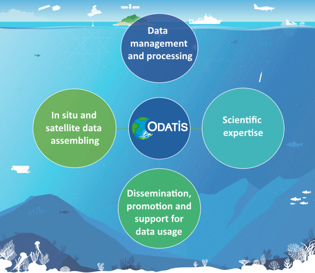
ODATIS, dedicated to the oceans, is one of Data Terra’s five data and services hubs. Its mission is to provide data, software, and services to marine science researchers. It covers all ocean components: circulation, physical and chemical properties, biogeochemical cycles, ecosystems, and coastal dynamics. It offers a wide range of services – data warehouses, catalogs, visualization tools, virtual research environments – and actively supports communities through workshops and webinars.
What are the needs for programs such as BRIDGES?
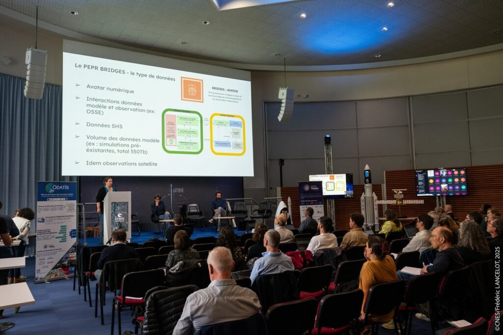
At the ODATIS General Assembly, Aurélie Albert, research engineer at CNRS/IGE and co-leader of WP1 of BRIDGES AVATAR, presented the types of data used by the program: data from numerical models, satellite observations, quantitative and qualitative data on fishing, biodiversity, and social dynamics. She highlighted the challenges associated with the considerable volume of data produced (up to 550 TB for some simulations) and its long-term storage, which does not always comply with FAIR standards. The discussion highlighted the importance of integrating infrastructures such as ODATIS from the design stage of projects to ensure effective data sharing, traceability, and exploitation for the benefit of the entire scientific community.
How ODATIS supports BRIDGES (through BRIDGES INFORMATION)
The ODATIS national cluster plays a key role in organizing, storing, and sharing the scientific data produced in BRIDGES. ODATIS helps to identify and structure the information collected (ocean, climate, biodiversity, etc.) in a large digital catalog that is accessible to all. It ensures that these data are well described, easily retrievable, shared in standardized formats, and stored securely and sustainably.
ODATIS also provides powerful tools for analyzing data, as well as training to help researchers manage and use them in their work.
Thanks to this collaboration, the BRIDGES program will be able to build on a solid foundation to better promote its results and make them available to scientists, public decision-makers, and society. This partnership ensures that the knowledge produced today will remain accessible and useful tomorrow, to support the ecological transitions underway in the Indian Ocean territories.
BRIDGES-INFORMATION must also be linked to long-term initiatives:
- Other national research infrastructures such as RI HUMANUM (humanities and social sciences data), RI ILICO (coastal and littoral observation systems), etc.
- National initiatives such as the Equipex+/PIA3 GAIA Data project for the French ecosystem, as well as European projects (EOSC, etc.).
- Regional initiatives such as Sextant Indian Ocean.
Sharing data with international and regional partners
ODATIS supports BRIDGES in making scientific data accessible, shared, and valued at the regional and international levels. Thanks to a structured and interoperable catalog, the data produced will be easily accessible and reusable by partners in Indian Ocean countries and beyond. By applying FAIR principles, ODATIS guarantees the quality, traceability, and sustainability of the data. This open sharing promotes scientific cooperation, strengthens local capacities, and supports decision-making.
The BRIDGES x ODATIS team
Erwann Quimbert is co-leader of BRIDGES INFORMATION and the head of the ODATIS Ocean cluster of the Data Terra Research Infrastructure. He is an engineer at Ifremer Brest. He has a dual background in geography and GIS, which has enabled him to specialize in the fields of the environment, research data management, and technologies for collecting, analyzing, and disseminating geographic data. He has extensive experience in leading and managing national and European projects. At the national level, he coordinated the ANR Flash COPiLOtE project (“CertificatiOn PoLe OcEan,” toward the certification of ODATIS Ocean Data and Service Centers). At the European level, he contributes his expertise in marine data management to numerous projects in which he is responsible for tasks or work packages: EMODnet chemistry (2017-2023), ENVRI FAIR (2019-2022), Mission Atlantic (2020-2024), Geo-INQUIRE (2022-2026).
Julie Furiga was recruited as an engineer on the BRIDGES INFORMATION project to work on program data management, while supporting IR Data Terra’s activities in the Indian Ocean.
With a bachelor’s degree in Geography and a master’s degree in Marine and Coastal Sciences, her first assignments focused on coastal dynamics and risks in mainland France and overseas territories. Various projects then enabled her to understand the complexity of the maritime environment, focusing on the concepts of Maritime Spatial Planning, Marine Protected Areas, fishing issues, Marine Renewable Energy, and ocean conservation. To facilitate understanding of this complex socio-ecosystem, Julie uses a wide variety of tools, including cartography and GIS, surveys, statistics, and scientific outreach tools. The BRIDGES program provides an opportunity to discover the ecosystem of maritime actors and issues in the Indian Ocean.
Clémence Cotten is responsible for data FAIRization at Odatis and manages the database of biological samples from French marine campaigns conducted by Ifremer. After earning a bachelor’s degree in biology and ecology from the University of Nantes, she specialized in marine sciences with a multidisciplinary master’s degree in oceanography and geomatics from the University of Brest (EGEL Master’s degree). She was then hired by Ifremer (Brest) to work on data management and interoperability for public policy support before moving on to her current activities. Clémence is involved in several projects, notably on the theme of deep seas with the DEEP REST project and the PEPR Grands Fonds Marins, as well as Ifremer’s participation in Emodnet biology.
More news News